eREEFS
The world’s largest reef forecasting and modelling program to track and predict the condition of the Reef, including water quality and bleaching.
#Critical Reef Forecasting
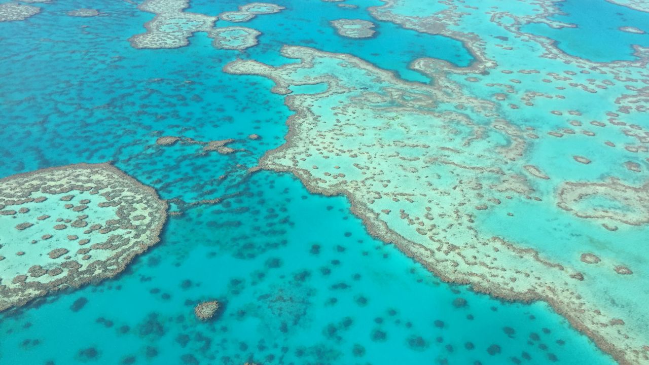
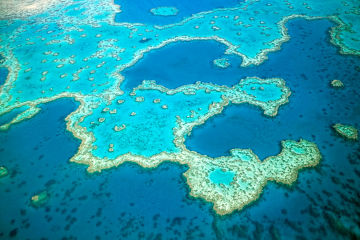
The Great Barrier Reef is the largest living thing on Earth and is the only natural wonder of the
world visible from space.
However, its vast size makes it hard to monitor and predict a growing combination of threats, such as warmer water temperatures and poor water quality, from sediment and nutrient run-off.
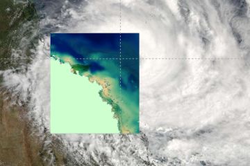
That’s why we partnered with the Australian Institute of Marine Science, the Bureau of Meteorology, CSIRO and the Queensland Government to build the world’s largest Reef forecasting and modelling program, known as eReefs, combining satellite technology with powerful models and machine learning to develop the tools needed to save our Reef.
Just as the Bureau of Meteorology does for weather, eReefs delivers Reef water quality information online in near real time, enabling anyone to track the effects of rising water temperatures, cyclones, floods and other impacts on the Reef.
#Our impact
Right now, the eReefs coral bleaching index can predict the combined impact of increased temperature, light, and nutrients on coral reefs.
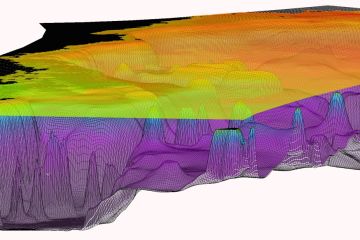
The system can also model water quality in 3D across the entire Reef using data from NASA and the European Space Agency Sentinel-3 satellites. This innovative technology is the first step in building a comprehensive coastal information system for Australia.
The eReefs Visualisation Portal is accessible to everyone who manages and uses the Reef and needs to know about the marine environment and water quality. Other portals hosted on CSIRO and the Australian Bureau of Meteorology’s websites provide further specialised products that are also publicly accessible.
A further $9.6 million has been invested in advancing the functionality and capability of eReefs through the Reef Trust Partnership to make it an even more powerful tool for Reef managers.

#Want to help save the Reef?
Sign up to stay up to date with the latest news plus highlights from the 375 projects we’re delivering right now.
#News
Media Release ·
eReefs project a finalist in Australia’s science ‘Oscars’
Media Release ·
eReefs turns on ‘x-ray vision’ in cyclones
Media Release ·
eReefs funding announced
#Project partners
eReefs is a collaboration between the Foundation, Bureau of Meteorology, CSIRO, Australian Institute of Marine Science and the Queensland Government supported by funding from the Australian Government’s Caring for our Country, Queensland Government, BHP Billiton Mitsubishi Alliance and the Science Industry Endowment Fund.